
The Peninsula of Laskea is located on the western-most point of Abios. It is a peninsula with a narrow stretch of land at its southern border connecting it with the mainland of Abios, with the majority of the landmass separated by the Qretith Sea, which has a width of 19 mi (30 km) at its narrowest point.
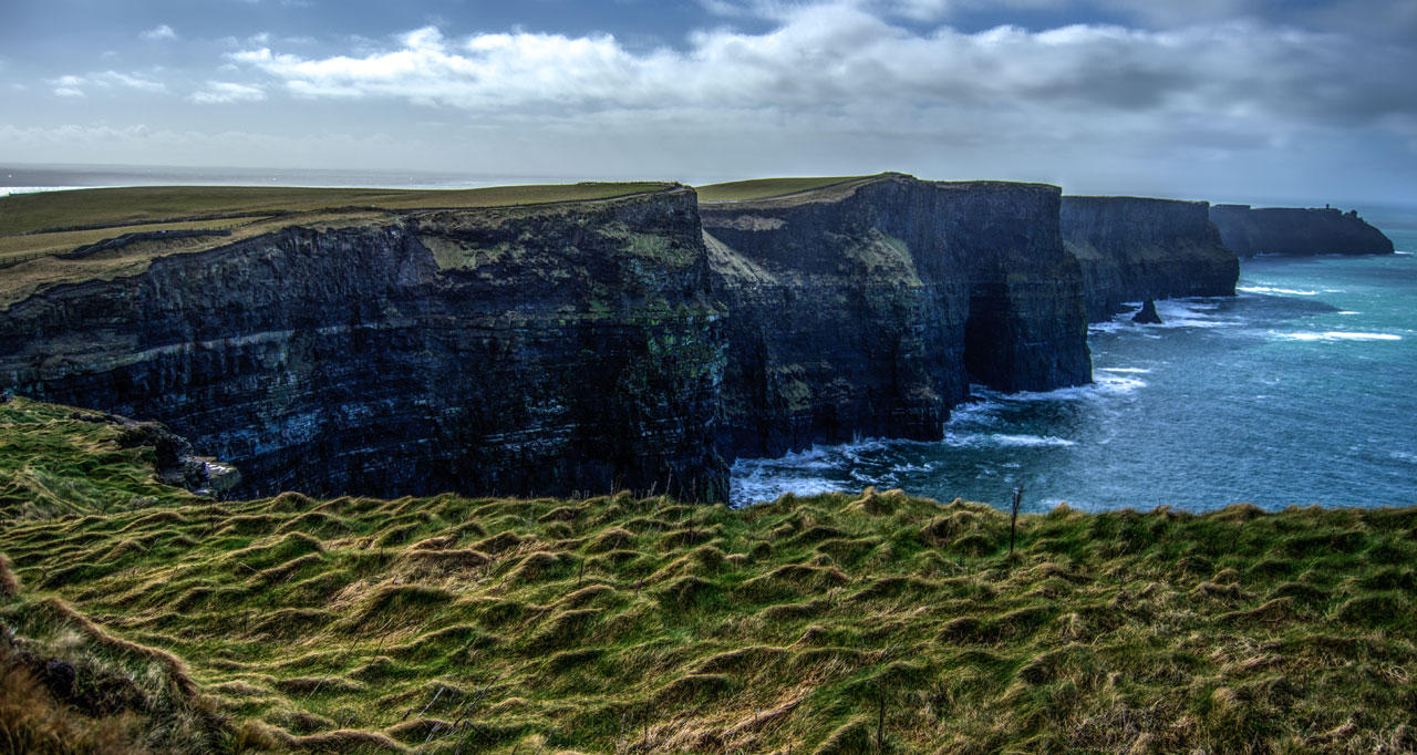
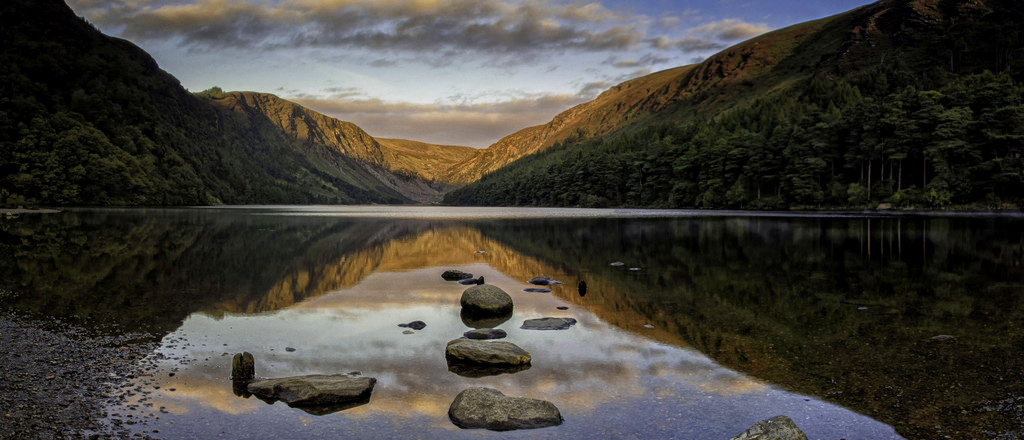
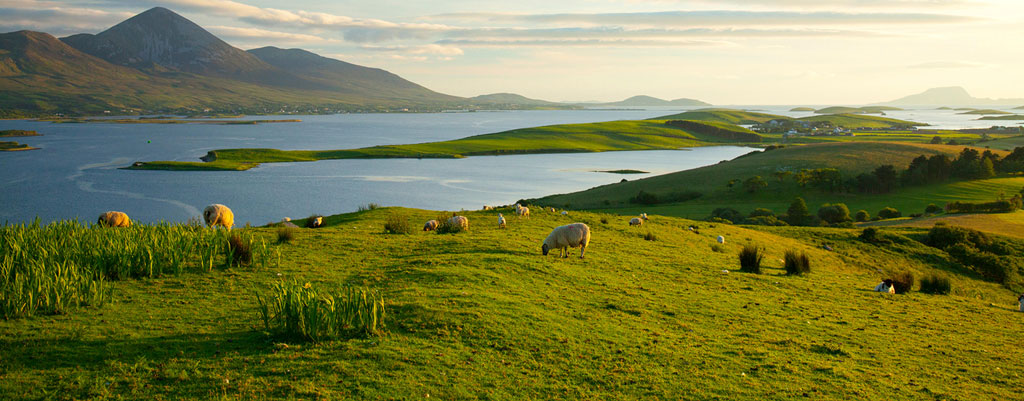
The western coast of Laskea is predominately rocky cliff shores with sporadic patches of sandy beaches. The northern part of Laskea is dominated by rolling hills with mountainous terrain closer to the shore. In the southern portion of the region which connects to the mainland is home to the Feyborn Mountains, which rises to 3,406 ft (1,038 m) above sea level at its highest point. The most arable land lies in the middle of the region from southern Hirane to northern Ula'ree. No major river exists within Laskea, however several small creeks and streams can be found throughout the landscape leading out to sea. The largest body of water within Laskea is Lake Pella in the middle of the region bordered by a marsh and a forest to its west, while the second largest is called the Shaded Basin and lies shadowed by the Feyborn Mountains in southern Laskea.
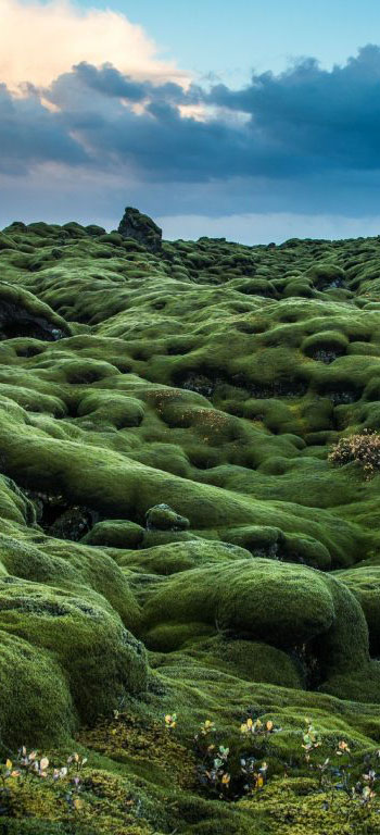
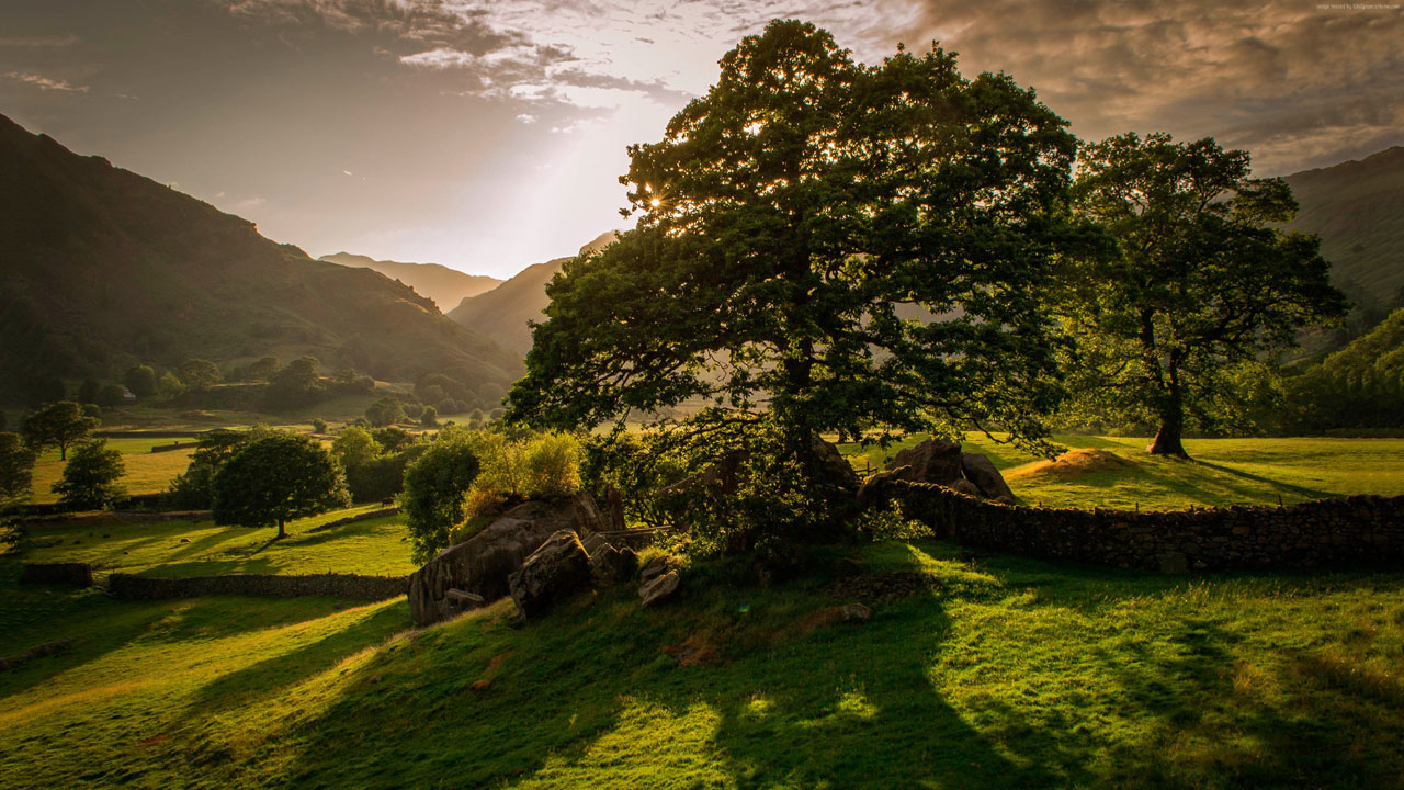
The peninsula has an abundance of lush vegetation, a product of its mild climate and frequent rainfall. Overall, Laskea has a mild but changeable oceanic climate with few extremes. The climate is typically insular and is temperate, avoiding the extremes in temperature of many other areas in the world at similar latitudes. This is a result of the moderating moist winds from the southerly winds of the southern Onnicia ocean.
Precipitation falls throughout the year but is light overall, particularly in the east. The west tends to be wetter on average and prone to Onnicia storms, especially in the late autumn and winter months. These occasionally bring destructive winds and higher total rainfall to these areas, as well as sometimes snow and hail. The regions of north Hirane and west Sestatrea have the highest incidents of recorded lightning annually for the peninsula, with lightning occurring approximately five to ten days per year in these areas. Ula'ree, in the south, records the least snow whereas Sestatrea, in the north, records the most.
Inland areas are warmer in the summer and colder in the winter compared to the rest of the country. Usually around 40 days of the year are below freezing 32°F (0°C) at inland locations, compared to 10 days at coastal locations. Laskea is sometimes affected by heat waves, however more commonly affected by unusually cold winters where temperatures can fall as low as 1°F (−17.2°C) with up to 3 ft (1 m) of snow falling in mountainous areas.
Because Laskea is somewhat isolated from the mainland of Abios by the Feyborn Mountains, it has fewer land animal and plant species than the mainland. There are 55 mammal species in Laskea and of them only 26 land mammal species are considered native. Some species, such as the red fox, hedgehog and badger, are very common, whereas others, like the Laskean hare, red deer and pine marten are less so. Aquatic wildlife, such as species of sea turtle, shark, seal, whale, and dolphin, are common off the coast. About 400 species of birds have been recorded in Laskea. Many of these are migratory, including the barn swallow.
Several different habitat types are found in Laskea, including farmland, open woodland, temperate broadleaf and mixed forests, conifer plantations, peat bogs and a variety of coastal habitats.
Laskea is considered one of the least forested territories in Abios. Much of the land is now covered with open grasslands, rollings hills, and pasture. Throughout the landscape, there are many species of wild-flower. Gorse (Ulex europaeus), a wild furze, is commonly found growing in the uplands and ferns are plentiful in the more moist regions, especially in the western parts. It is home to hundreds of plant species, some of them unique to the peninsula, and has been "invaded" by some grasses, such as Spartina anglica. The algal and seaweed flora is that of the cold-temperate variety.
Type
Peninsula
Included Locations
Included Organizations
Owner/Ruler
Owning Organization
Related Reports (Primary)
Cover image:
Big Country
by
Mike Kinsella
Comments
Please Login in order to comment!



Reading this I'm wondering if there's an Abios-Albion connection since this reads as a very British style region. Either way, the article is thorough detailed and very informative. As above said, great work!
The nations/territories throughout Abios are modeled after many real-life territories. Laskea = Irish, Estrya = Scottish, Fjoll = Ancient Germany, Geriland = Denmark / Iceland, Xeshana = Persia, Aenammar = Vietnam / Thailand, etc etc. I wouldn't say there is really an Albion connection, though it may seem like that because of the choice of nation to build it 'from'. I appreciate the comment!