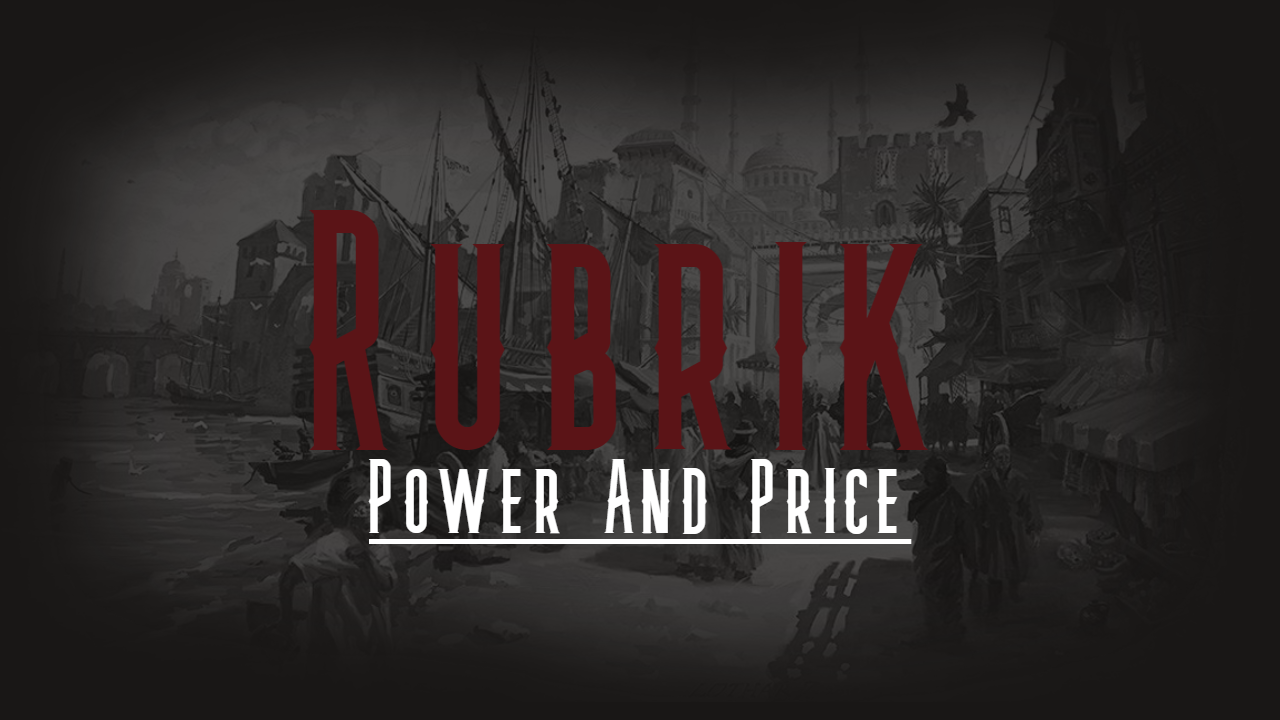
Balidan
Balidan is a country located in the south of Rubrik, renowned for its embrace of magick. Balidan is a land of rugged deserts and vast, rolling hills. The region is known for its stunning natural beauty, as well as its rich cultural history and vibrant population. Despite the challenges of living in such a rugged and isolated region, the people of Balidan have thrived for centuries, developing a unique culture that blends ancient traditions with modern innovation. From the bustling cities to the remote villages scattered throughout the countryside, Balidan is a land of adventure and opportunity, offering something for everyone who is brave enough to explore its wild and untamed beauty.
History
Osmani & Setsyru
Balidan was once two separate countries. The recently conquered Osmani, and the culturally rich Setsyru. For years, Anitopola the Conqueror had expanded his ever growing empire throughout southeastern Rubrik before finally conquering Osmani, the country being renamed after that of his family. Many thought he would stop there, his dwindling age and the imposing Balesh Mountains halting any eastward progression into Setsyru. Suffice to say, they were wrong. Setsyru on the other hand, had enjoyed an unheard of peace for the past century. The rich, self sustaining capitol of Arakk-haral had stood as a golden beacon for all of Rubrik. And Setsyru’s beloved kings had ensured peace and prosperity for their country. Ahmessentuahbrah, Setsyru’s most recent king, was one of the most worshipped and well loved kings to ever grace the Golden Throne. Some fifteen years after Anitopola’s conquering of Osmani, he indeed set his eyes on Setsyru. The Balesh Mountains did indeed hinder some progress, but it also had its uses. Anitopola sent a battalion of soldiers to the ancient capitol of Arakk-haral, and with them, assassins under the guise of emissaries. Things went as you may expect, without any formal standing military, the Setsyrian’s stood no chance. Ahmessentuahbrah along with his family were assassinated. And any of those who tried to flee were stuck in between an ocean, the Balesh mountains, and the death trap that is the Al Kuah Desert. But not all hope was lost. Two of Ahmessen’s children survived the assassins. His eldest son Ammenepthes (Age 10) and his youngest daughter Sitra (Age 6) had escaped with the help of the palace servants. Nepthes hid as a commoner, while Sitra was raised as a handmaiden within the palace walls. It took nearly ten years for Anitopola and much of his army to cross the Balesh and reach Arakk-haral. During that time, Nepthes had begun to muster a rebellion to retake the Golden Throne. But things would not work out in his favor. Nepthes was easily discovered by Anitopola, captured and taken prisoner. The rebellion then made a desperate attempt to rescue their would be king. But, Anitopola’s eldest son, Koray Osmani, more commonly known as The Rhino, killed Nepthes as the rescue was underway. Any hope of rebellion had seemingly been crushed in a single instant. Only a handful of servants knew of Sitra’s survival as she was kept well hidden within the palace walls. She lived right under Anitopola’s nose for the better part of a decade. During this time, Anitopola’s youngest son, Hayir, had made the journey to Setsyru. He and Sitra became romantically involved and eventually fell in love. Surprisingly, Hayir was sympathetic to the Setsyrians and the two of them hatched a plan that would become one of the biggest betrayals in Rubrik’s history. Not much more detail is needed, this could go on forever. But, with the help of the lingering Setsyrian Rebellion, Sitra and Hayir purged and destroyed the Osmani family, finally ending the devastating reign of Anitopola. They were then married and together ruled as King and Queen. They disbanded the Osmani Empire and decided together, for the betterment of their people, to unite the countries of Osmani and Setsyru into a new country. The country we now know as Balidan.Landscape
The landscape of Balidan is vast and unique. The Semket Mountains that once created a natural barrier between Osmani and Setsyru is now an open pass between Western and Eastern Balidan. Though it is not a major trade route, it is a relatively safe and prosperous road that many travel throughout the year. Balidan lies some hundred miles off the equator of Rubrik. Balidan has two seasons, sumat (summer) and druma (winter) though the weather varies greatly depending on if you’re in Western or Eastern Balidan. Eastern Balidan sits just below sea level which lends to its flat and arid landscape. Extremely hot temperatures are common throughout the year even during druma. Temperatures rise to over a hundred degrees during sumat, and stay in the high eighties and low nineties during druma. Western Balidan has a more mild climate, as it sits at higher elevations than that of its eastern counterpart. The vast majority of the population resides in Western Balidan due to this. Western Balidan features a more mountainous and rugged terrain, with more humid temperatures along the coastline. Western Balidan also sees snow during druma, particularly in the northern areas where the elevation rises to over 6,000 feet above sea level. The Great Njeru Expanse is the natural barrier between Balidan and the country of Soweto. Over 2,000 square miles of rocky and rough terrain, this large canyon is the largest natural formation in all of Rubrik. The Njeru Expanse also features a unique ecosystem. The ancient Njeri people have lived in the Expanse for generations. These unique people create their home inside the cliff walls to keep out of reach from the dangerous predators that reside on the canyon floor. The only way to enter into Balidan from the Njeru Expanse is to cross the Gate of Calamat, an ancient sandstone door with unique markings carved throughout it. Many archaeologists and researchers have studied the ancient door for decades, but so far, it has not yielded many results.


Founding Date
1114 EoB
Type
Geopolitical, Country
Capital
Demonym
Leader Title
Founders
Government System
Monarchy, Constitutional
Currency
Desh
Official State Religion
Controlled Territories
Neighboring Nations
Comments