The Bighorn Inversion
A geologist would call it a Recumbent Syncline Fold. To the people of the Bighorn River Valley, it was their doom.
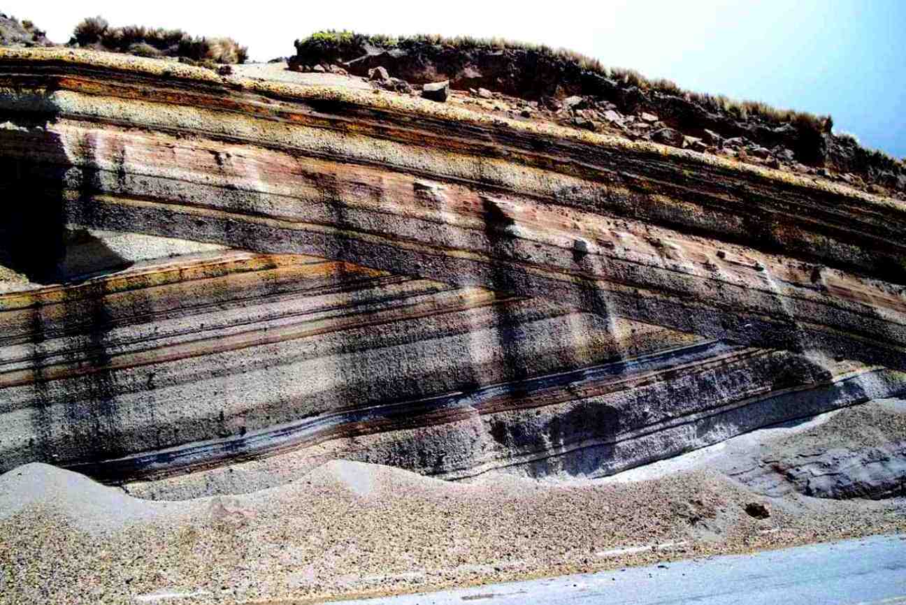
When the Yellowstone Caldera blew during the great cataclysm, massive sections of the earth's crust were thrust upwards and outwards, folding over and landing on the surrounding countryside upside down. Entire cities were smothered in this manner under millions of tons of earth's crust.
Geography
Where the inversion came to rest, the current top-most surface is 200 million year old mesozoic sediment. Now exposed, this ancient sediment is full of fossils from Earth's prehistory. If there were any anthropologists alive today, they would be ecstatic at the discovery.
Once exposed to the sun, what was once the surface is now in the dark a hundred meters below. Many pockets of air, water and debris can be found here. The decomposing organic plant and animal matter has helped to create an entire subterranean ecosystem unlike anything Earth has ever seen. One such pocket contains the The Ruins of Cody Wyoming.
Fauna & Flora
The caverns of pre-rifts surface were once lush with organic life. This has attracted all manner of organisms and some of the organisms that used to live on the surface of the planet have been able to survive and adapt to their new subterranean world. Needless to say, all of the decomposing organic matter has led to a thriving fungus population which has also adapted and specialized in the three centuries since it occurred.
New creatures arriving through rifts have also claimed these caverns and called them home. One such creature is an intelligent race of medium sized armored humanoids called the Maxpary.
Natural Resources
The existence of pre-rifts technology in the pocket caverns is unknown at this time. But anyone able to explore them will discover a plethora of it.
Location under

Comments