Ajda-Donesh Basin
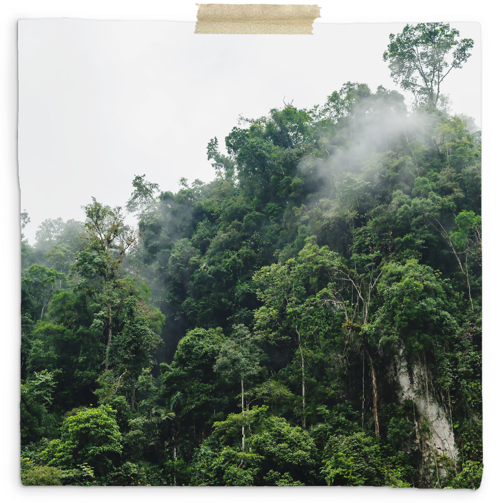
Rimmed by the Hiatal Mountains to the north and west, the Kogria Mountains to the east, and the Léna'thová Ocean to the south, the region exists as a downward sloping semi-basin which culminates in a series of wetlands called the Nang Kap'ahu Delta. Despite being called a Basin, however, the Ajda-Donesh region is anything but... Instead, the region's name more correctly refers to the series of wet and dry tropical forests that run through the southern peninsula of Talaina'Vao in Tolara- with the Ajda Wet Forest in the west, and the Donesh Dry Forest in the east. The Ajda-Donesh basin is a gradually sloping region filled with hills, valleys, and numerous forests. This makes it difficult to navigate on the best of days- and outright impossible on the worst. But on any given day, it's easy to get lost in the region; one wrong turn and you may wind up never finding your way back out. For that reason a number of stone roads have been built by those who reside in the region, making it easier to find major villages- and even the way back to Nisaba Pass. Because of its large range, and the number of ecosystems it contains, the Ajda-Donesh region experiences variable rainfall throughout the year that varies drastically per area... For instance, rainfall in the Ajda Wet Forest can range from 80 to 400 inches (200 to 1000 cm) per year- whereas the Donesh Dry Forest receives approximately 60 to 160 inches (152 to 406 cm). Areas like the Nang Kap'ahu Delta, on the other hand, frequently see an average of 800 inches (2,032 cm) during the rainy season. Despite the significant differences in rainfall, however, the average temperature remains steady across the region- rarely wavering from the 70°F to 85°F (21°C to 30°C) range.


Comments
Author's Notes